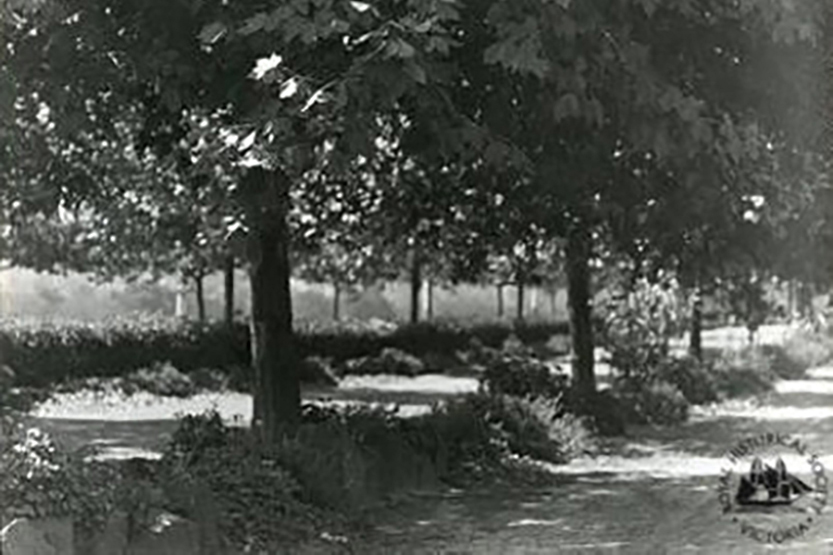
The history of “the Tan”
11 Aug 2026 - Robin GrowOne of the treasures of Southbank is the Tan, a track that winds along the edge of the suburb for about four kilometres.
Read More
One of the treasures of Southbank is the Tan, a track that winds along the edge of the suburb for about four kilometres.
Read More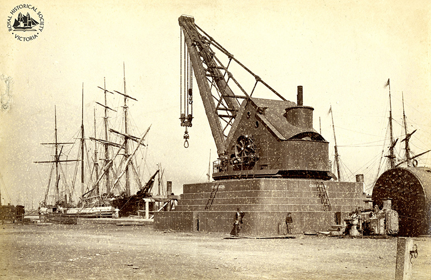
For nearly half a century, a steam crane stood over the Yarra, a hulking reminder of the river’s working life.
Read More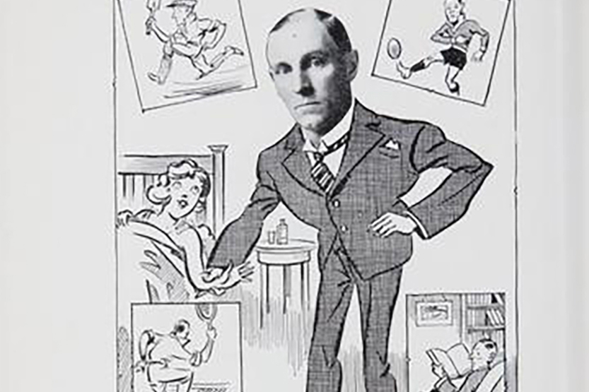
Few locals had the impact on the community in South Melbourne displayed by Dr Roy Park who practised medicine in Cecil St. He was an outstanding doctor, a war veteran, champion league footballer, and a State and (briefly) a Test cricketer.
Read More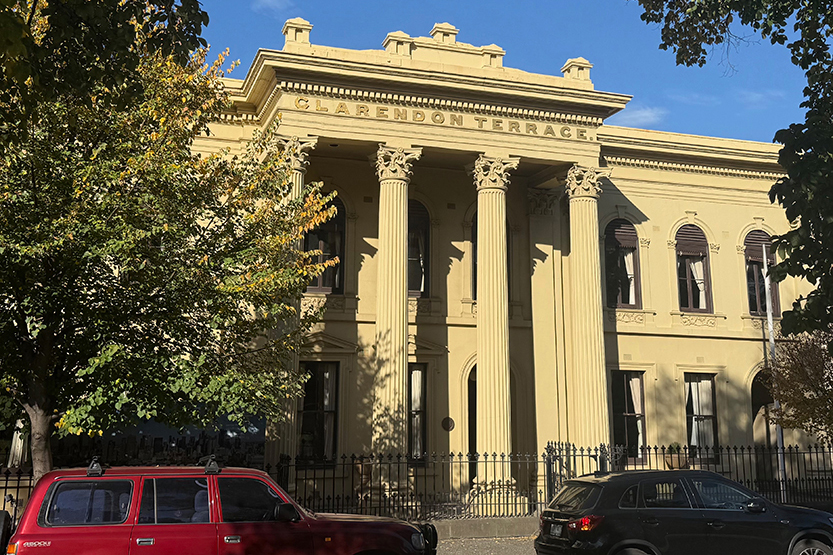
Walking down Clarendon St in East Melbourne, the National Trust-owned Clarendon Terrace stands out for its Corinthian four-column portico and gold inscription.
Read More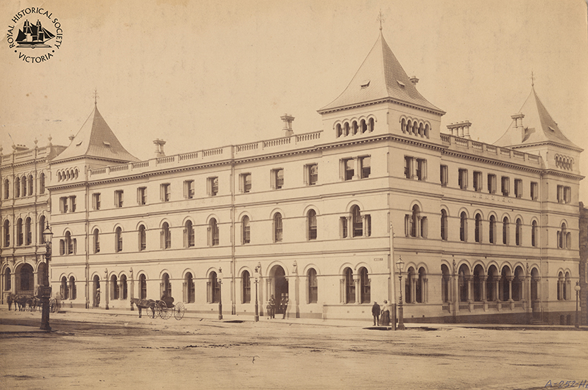
Taken around the 1870s, this image shows the Menzies Hotel at the corner of William and Bourke streets.
Read More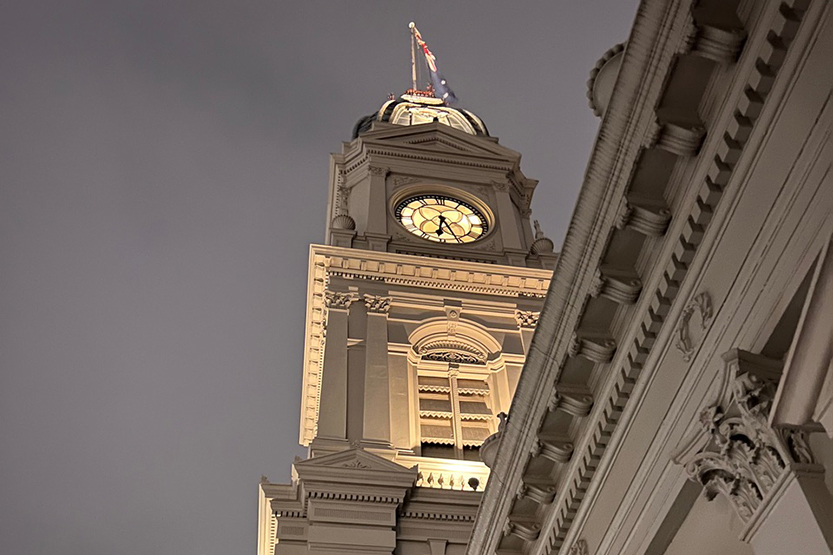
On June 20, Errol St became the setting for the second Winter Solstice Street Party, a local celebration of the longest night of the year supported by the Hotham History Project.
Read More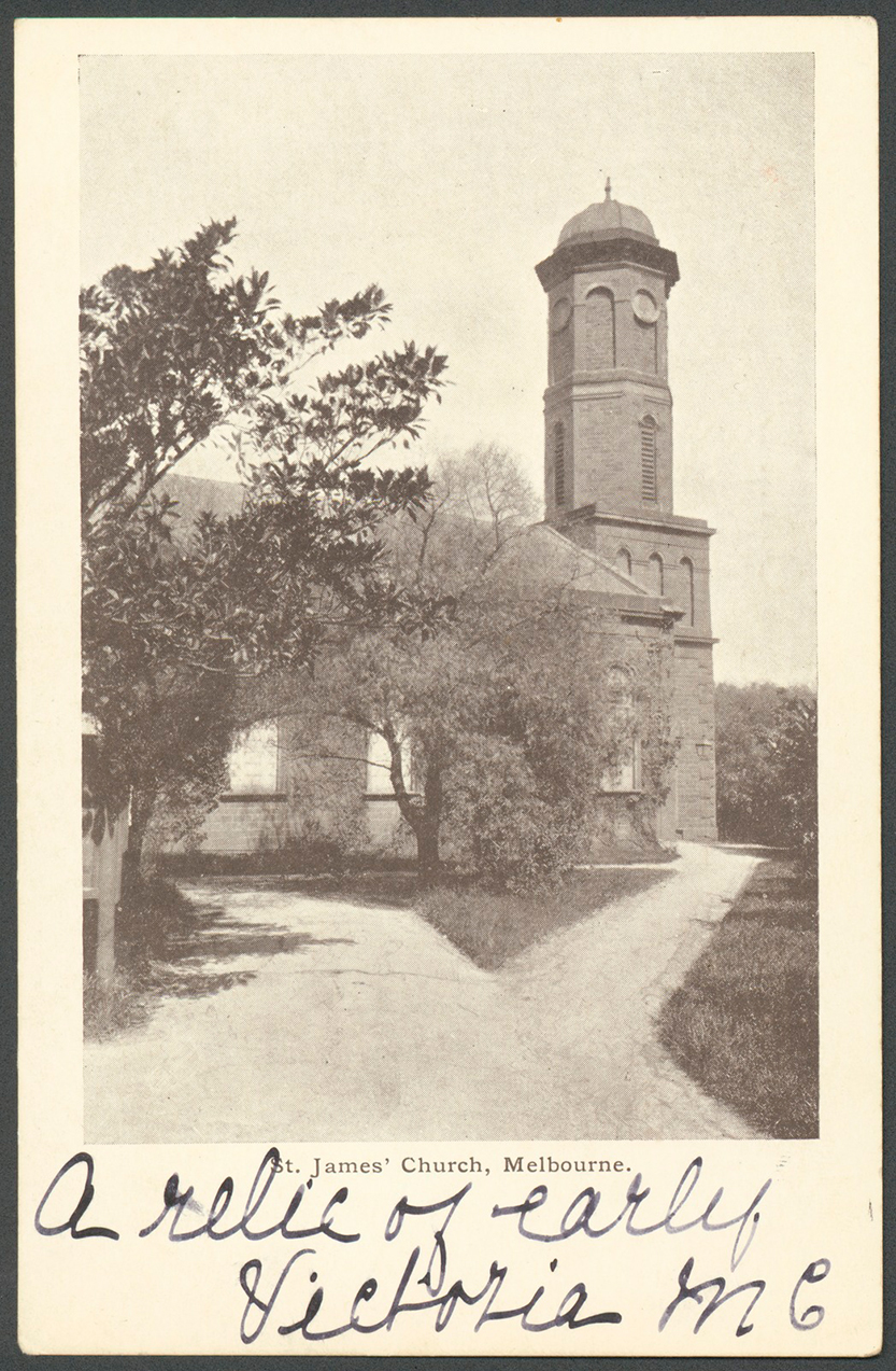
St James Old Cathedral, on the corner of King and Batman streets, directly opposite the Flagstaff Gardens, is an important building in the early history of Melbourne.
Read More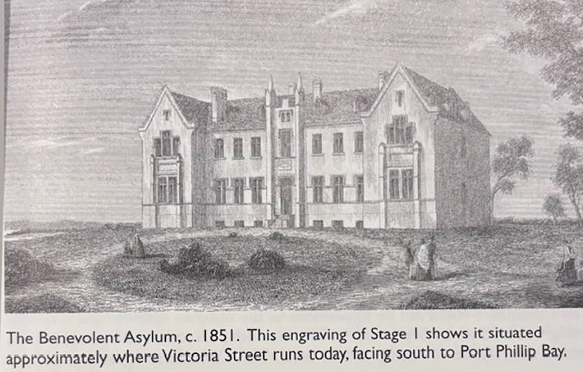
July 1, 1851, was an important date in the history of Victoria, and particularly for North and West Melbourne.
Read More
One of the earliest maps of Melbourne, the Robert Russell 1837 map, when Melbourne’s population was only a few hundred shows a “Track to the Saltwater River and Geelong”.
Read More
David Evans is a long-time member of the Hotham History Project.
Read More